Talaksan:Aerial View of Tehran 26.11.2008 04-35-03.JPG

Buong resolusyon ((2,048 × 1,536 pixel, laki ng talaksan: 2.37 MB, uri ng MIME: image/jpeg))
|
|
Ito ay isang talaksan mula sa Wikimedia Commons. Makikita sa ibaba ang impormasyon mula sa pahina ng paglalarawan nito roon. |

|
Copyright warning: A subject in this image is protected by copyright.
This image features an architectural or artistic work, photographed from a public space in Iran. There is no freedom of panorama exception in the 1970 Act for Protection of Authors, Composers and Artists Rights, the copyright law of Iran, which means that copyrighted architectural or artistic works cannot be photographed freely for anything other than personal or private uses. See also: COM:CRT/Iran#Freedom of panorama. If a copyrighted architectural or artistic work is contained in this image and it is a substantial reproduction, this photo cannot be licensed under a free license, and will be deleted. Framing this image to focus on the copyrighted work is also a copyright violation. Before reusing this content, ensure that you have the right to do so. You are solely responsible for ensuring that you do not infringe someone else's copyrights. See our general disclaimer for more information. |

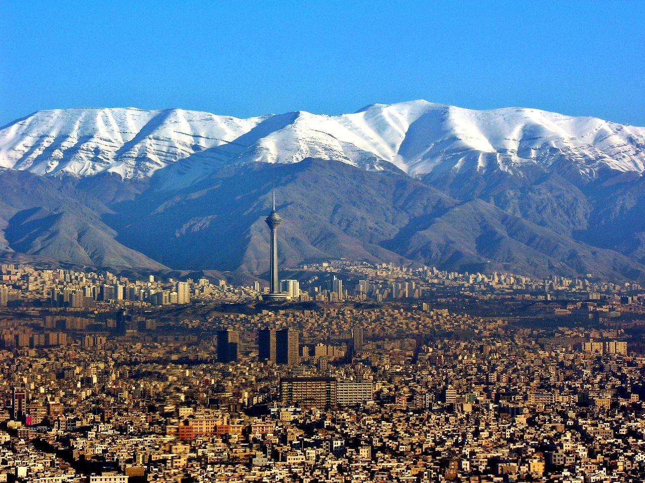
| Paglalarawan | Aerial View of Tehran |
| Petsa | Kinuha noong 26 Nobyembre 2008, 04:35:03 |
| Pinanggalingan | Sariling gawa |
| May-akda | Hansueli Krapf |
| Permiso (Muling paggamit sa file) |
Attribution ShareAlike 3.0 |
| Camera location | | View this and other nearby images on: OpenStreetMap |
|---|
- Malaya kang:
- para ibahagi – para kopyahin, ipamahagi, at i-transmit ang akda
- para i-remix – para i-adapt ang akda
- Sa ilalim ng mga kondisyong ito:
- atribusyon – Dapat magbigay ka ng isang maayos na pag-credit, ibigay ang link sa lisensiya, at tukuyin kung may mga pagbabagong ginawa. Magagawa mo ito sa isang risonableng paraan, pero hindi sa paraan na para bang ineendorso ka o ng paggamit mo ng naglisensiya sa'yo.
- share alike – Kung ire-remix mo, babaguhin, o magdadagdag ka sa materyal, dapat mong ipamahagi ang mga ambag mo sa ilalim ng pareho o katulad na lisensiya.
Nakaraan ng file
Pindutin ang araw/oras upang makita kung papaano ang itsura ng talaksan noong oras na iyon.
| Araw/Oras | Thumbnail | Mga dimensiyon | tagagamit | Kumento | |
|---|---|---|---|---|---|
| ngayon | 02:48, 13 Abril 2014 | | 2,048 × 1,536 (2.37 MB) | Iranianson | Fixing the light and contrast |
| 02:25, 29 Nobyembre 2013 |  | 2,048 × 1,536 (2.31 MB) | Chronus | {{Information |Description=Aerial View of Tehran |Source={{Own}} |Date=see metadata |Author=Hansueli Krapf |Permission=Attribution ShareAlike 3.0 |other_versions= }} {{Location|35|40|27.8868|N|51|22|4.0692|E|alt:1338_source:exif_heading... | |
| 19:57, 19 Hunyo 2009 |  | 2,048 × 1,536 (1.06 MB) | Simisa | {{Information |Description=Aerial View of Tehran |Source=Own Work |Date=see metadata |Author=Hansueli Krapf |Permission=Attribution ShareAlike 3.0 |other_versions= }} {{cc-by-sa-3.0}} Category:Aerial photographs of Iran [[Category:Te |
Mga ugnay
Nakaturo sa talaksan na ito ang mga sumusunod na mga pahina:
Pandaigdigang paggamit sa file
Ginagamit ng mga sumusunod na wiki ang file na ito:
- Paggamit sa ady.wikipedia.org
- Paggamit sa af.wikipedia.org
- Paggamit sa ar.wikipedia.org
- Paggamit sa ast.wikipedia.org
- Paggamit sa bxr.wikipedia.org
- Paggamit sa ca.wikipedia.org
- Paggamit sa csb.wikipedia.org
- Paggamit sa cs.wikipedia.org
- Paggamit sa da.wikipedia.org
- Paggamit sa en.wikipedia.org
- Paggamit sa en.wikinews.org
- Paggamit sa es.wikipedia.org
- Paggamit sa fa.wikipedia.org
- Paggamit sa fa.wikiquote.org
- Paggamit sa fa.wikivoyage.org
- Paggamit sa fi.wikipedia.org
- Paggamit sa fr.wikipedia.org
- Paggamit sa fy.wikipedia.org
- Paggamit sa he.wikipedia.org
- Paggamit sa hy.wikipedia.org
- Paggamit sa incubator.wikimedia.org
- Paggamit sa ja.wikipedia.org
- Paggamit sa ko.wikipedia.org
- Paggamit sa ky.wikipedia.org
- Paggamit sa la.wikipedia.org
- Paggamit sa ml.wikipedia.org
- Paggamit sa mn.wikipedia.org
- Paggamit sa mzn.wikipedia.org
Tingnan ang karagdagang pandaigdigang paggamit sa file na ito.