Talaksan:Britain and Ireland satellite image bright.png

Laki ng pasilip na ito: 522 x 600 na pixel. Ibang mga resolusyon: 209 x 240 na pixel | 418 x 480 na pixel | 668 x 768 na pixel | 1,024 x 1,177 na pixel.
Buong resolusyon ((1,024 × 1,177 pixel, laki ng talaksan: 2.21 MB, uri ng MIME: image/png))
|
|
Ito ay isang talaksan mula sa Wikimedia Commons. Makikita sa ibaba ang impormasyon mula sa pahina ng paglalarawan nito roon. |
Buod
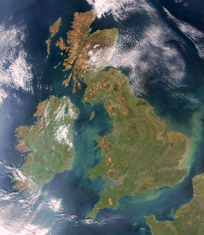
Brightened version of Image:United_Kingdom_satellite_image.png. Enhancement performed with w:en:the GIMP.
Paglilisensiya
| This file is in the public domain in the United States because it was solely created by NASA. NASA copyright policy states that "NASA material is not protected by copyright unless noted". (See Template:PD-USGov, NASA copyright policy page or JPL Image Use Policy.) | ||
 |
Warnings:
|
Nakaraan ng file
Pindutin ang araw/oras upang makita kung papaano ang itsura ng talaksan noong oras na iyon.
| Araw/Oras | Thumbnail | Mga dimensiyon | tagagamit | Kumento | |
|---|---|---|---|---|---|
| ngayon | 19:32, 7 Abril 2009 | | 1,024 × 1,177 (2.21 MB) | HighKing | Used original NASA source instead of version that had political border drawn in |
| 18:24, 5 Abril 2009 |  | 917 × 1,124 (1.15 MB) | HighKing | Cropped a little finer | |
| 18:06, 5 Abril 2009 |  | 934 × 1,284 (1.87 MB) | HighKing | {{Information |Description={{en|1=Brightened and correctly renamed version of Image:United_Kingdom_satellite_image.png. Enhancement performed with w:en:the GIMP.}} |Source=NASA |Author=NASA |Date= |Permission= |other_versions= }} <!--{{ImageUplo |
Mga ugnay
Walang mga pahina ang tumuturo sa talaksang ito.
Pandaigdigang paggamit sa file
Ginagamit ng mga sumusunod na wiki ang file na ito:
- Paggamit sa en.wikipedia.org
- Wikipedia:Userboxes/Location/Europe
- Names of the British Isles
- User:CsikosLo
- User:MariAdkins
- User:Tk420
- British nationalism
- User talk:HighKing/BritishIsles
- Template:User British-Isles
- User:KingKarp
- User:Knox490
- User:Byzantium Purple
- Wikipedia:Userboxes/Life/Ancestry
- Wikipedia talk:Userboxes/Archive 13
- Template:User British Isles≠UK,GBorEngland
- User:Adam9007
- Wikipedia:Userboxes/Life/Ethnicity
- User:Clawraich (Dalek)
- User:Mmitchell10
- User:Volksliam
- User:Nicnote
- User:Specto73
- User:Chris0282
- User:Markus1423
- User:RyTellyFan91
- User:HurricaneKappa
- User:SHISHIR DUA
- User:HurricaneKappa/sandbox/My Userboxes
- User:Shadestar474
- User:LowBattsMatt
- Paggamit sa en.wikisource.org
- Paggamit sa it.wikipedia.org
- Paggamit sa ja.wikipedia.org
- Paggamit sa no.wikipedia.org
- Paggamit sa si.wikipedia.org
- Paggamit sa zh.wikipedia.org