Talaksan:Democratic Republic of the Congo adm location map.svg

Buong resolusyon ((Larawang SVG, tinatayang 1,240 × 1,181 mga pixel, laki ng talakasan: 732 KB))
|
|
Ito ay isang talaksan mula sa Wikimedia Commons. Makikita sa ibaba ang impormasyon mula sa pahina ng paglalarawan nito roon. |
Buod
| Paglalarawan |
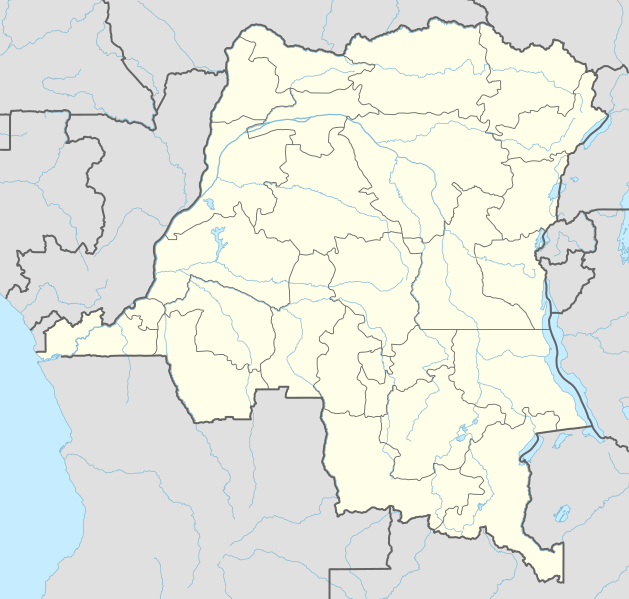
Deutsch: Positionskarte der Demokratischen Republik Kongo
English: Location map of the Democratic Republic of the Congo
|
||||||||||||
| Petsa | |||||||||||||
| Pinanggalingan |
Own work using:
|
||||||||||||
| May-akda | NordNordWest | ||||||||||||

|
This map has been made or improved in the German Kartenwerkstatt (Map Lab). You can propose maps to improve as well.
|
Paglilisensiya
Usage of this file with:

explanatory notes: Legally binding is only the full legalcode. For a free usage I recommend to respect the following licence conditions:
1. Provide my name as given above: NordNordWest,
2. a copy of, or the URI for, the applicable license: https://creativecommons.org/licenses/by-sa/3.0/de/legalcode,
3. the title of the work,
4. in the case of an adaptation, a credit identifying the use of the work in the adaptation.
This license and the rights granted hereunder will terminate automatically upon any breach by you of the terms of this license. Any of the above conditions can be waived if you get permission from the copyright holder. If you have questions or wish differing conditions, please contact me through nnwest or my discussion page ![]() t-online.de
t-online.de
- Malaya kang:
- para ibahagi – para kopyahin, ipamahagi, at i-transmit ang akda
- para i-remix – para i-adapt ang akda
- Sa ilalim ng mga kondisyong ito:
- atribusyon – Dapat magbigay ka ng isang maayos na pag-credit, ibigay ang link sa lisensiya, at tukuyin kung may mga pagbabagong ginawa. Magagawa mo ito sa isang risonableng paraan, pero hindi sa paraan na para bang ineendorso ka o ng paggamit mo ng naglisensiya sa'yo.
- share alike – Kung ire-remix mo, babaguhin, o magdadagdag ka sa materyal, dapat mong ipamahagi ang mga ambag mo sa ilalim ng pareho o katulad na lisensiya.

Nakaraan ng file
Pindutin ang araw/oras upang makita kung papaano ang itsura ng talaksan noong oras na iyon.
| Araw/Oras | Thumbnail | Mga dimensiyon | tagagamit | Kumento | |
|---|---|---|---|---|---|
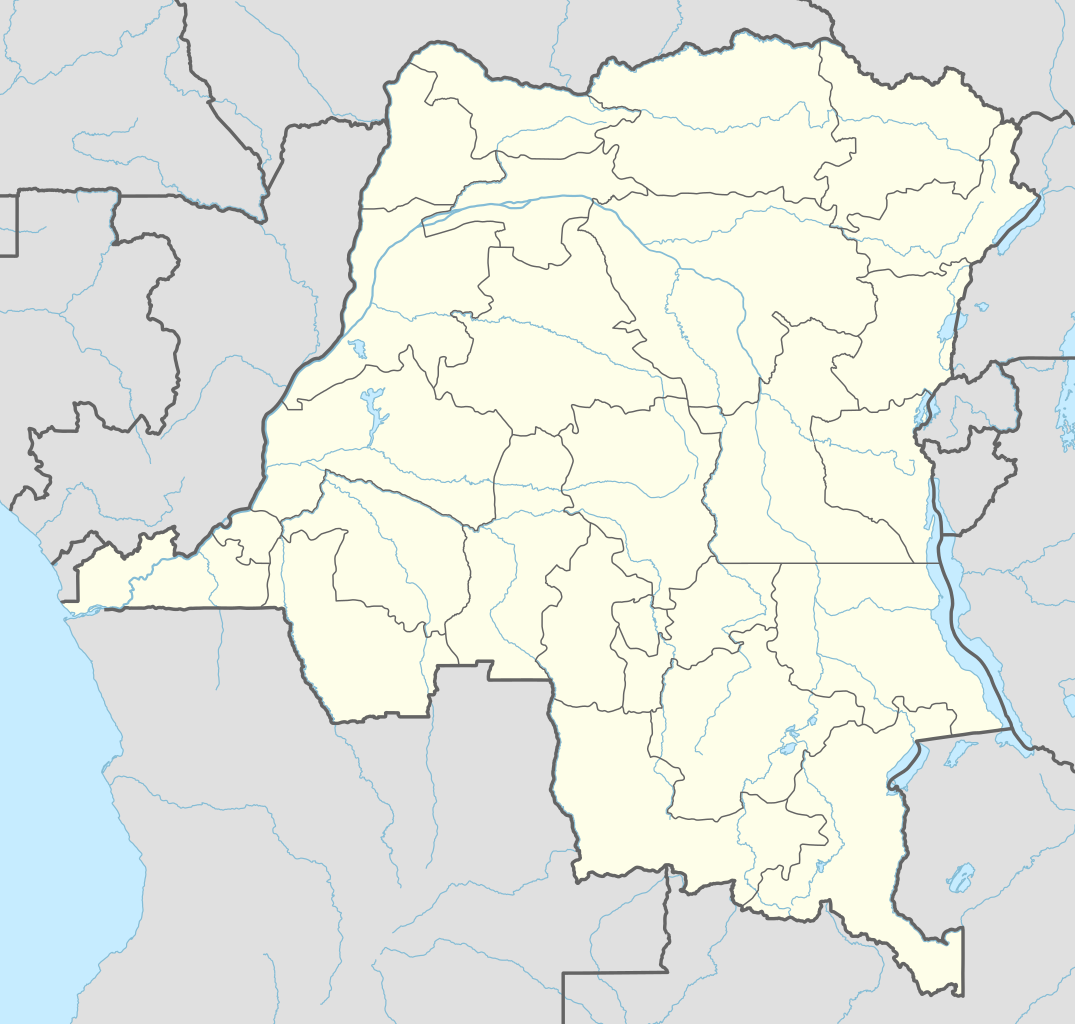
| ngayon | 01:51, 15 Nobyembre 2022 | | 1,240 × 1,181 (732 KB) | SyntaxTerror | sorted in layers |
| 08:51, 16 Pebrero 2016 |  | 1,240 × 1,181 (692 KB) | NordNordWest | corr | |
| 18:25, 15 Pebrero 2016 |  | 1,240 × 1,181 (691 KB) | NordNordWest | == {{int:filedesc}} == {{Information |Description= {{de|1=Positionskarte der Demokratischen Republik Kongo}} {{en|1=Location map of the Democratic Republic of the Congo}} {{Location map series N |stretching=100 |top=6 |bottom=-14 |left=11 |right=32 }}... |
Mga ugnay
Nakaturo sa talaksan na ito ang mga sumusunod na mga pahina:
- Banana, Demokratikong Republika ng Congo
- Bandundu
- Beni, Demokratikong Republika ng Congo
- Bukama
- Bukavu
- Bumba, Demokratikong Republika ng Congo
- Bunia
- Buta, Demokratikong Republika ng Congo
- Butembo
- Gemena
- Ilebo
- Inongo
- Isiro
- Kabinda
- Kalemie
- Kamina
- Kananga
- Kasongo
- Kikwit
- Kindu
- Kipushi
- Kisangani
- Kolwezi
- Likasi
- Lisala
- Lubumbashi
- Lusambo
- Matadi
- Mbandaka
- Mbanza-Ngungu
- Mwene-Ditu
- Tenke, Demokratikong Republika ng Congo
- Tshikapa
- Uvira
Pandaigdigang paggamit sa file
Ginagamit ng mga sumusunod na wiki ang file na ito:
- Paggamit sa ab.wikipedia.org
- Paggamit sa af.wikipedia.org
- Paggamit sa an.wikipedia.org
- Paggamit sa ast.wikipedia.org
- Paggamit sa azb.wikipedia.org
- Paggamit sa bn.wikipedia.org
Tingnan ang karagdagang pandaigdigang paggamit sa file na ito.