Talaksan:Locatie Ionische Zee.PNG
Walang resolusyong mataas.
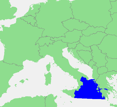
Locatie_Ionische_Zee.PNG ((473 × 430 pixel, laki ng talaksan: 17 KB, uri ng MIME: image/png))
|
|
Ito ay isang talaksan mula sa Wikimedia Commons. Makikita sa ibaba ang impormasyon mula sa pahina ng paglalarawan nito roon. |
| Paglalarawan | In dutch: Locatie Ionische Zee.PNG | ||||
| Pinanggalingan | own work based on PD map | ||||
| May-akda | edited by M.Minderhoud | ||||
| Permiso (Muling paggamit sa file) |
|
Nakaraan ng file
Pindutin ang araw/oras upang makita kung papaano ang itsura ng talaksan noong oras na iyon.
| Araw/Oras | Thumbnail | Mga dimensiyon | tagagamit | Kumento | |
|---|---|---|---|---|---|
| ngayon | 15:42, 28 Hunyo 2012 | | 473 × 430 (17 KB) | Ciaurlec | Corrected western and southern limits |
| 18:21, 12 Setyembre 2006 |  | 473 × 430 (16 KB) | Michiel1972 | {{Information |Description=In dutch: {{subst:PAGENAME}} |Source= own work based on PD map |Date= |Author= edited by M.Minderhoud |Permission= {{PD-Demis}} |other_versions= }} category:Locator maps of seas |
Mga ugnay
Nakaturo sa talaksan na ito ang mga sumusunod na mga pahina:
Pandaigdigang paggamit sa file
Ginagamit ng mga sumusunod na wiki ang file na ito:
- Paggamit sa an.wikipedia.org
- Paggamit sa avk.wikipedia.org
- Paggamit sa ca.wikipedia.org
- Paggamit sa es.wikipedia.org
- Paggamit sa fr.wikipedia.org
- Paggamit sa fy.wikipedia.org
- Paggamit sa gl.wikipedia.org
- Paggamit sa ia.wikipedia.org
- Paggamit sa incubator.wikimedia.org
- Paggamit sa ky.wikipedia.org
- Paggamit sa li.wikipedia.org
- Paggamit sa nds-nl.wikipedia.org
- Paggamit sa nl.wikipedia.org
- Paggamit sa pt.wikipedia.org
- Paggamit sa ru.wiktionary.org
- Paggamit sa sc.wikipedia.org
- Paggamit sa vls.wikipedia.org
- Paggamit sa zh-yue.wikipedia.org