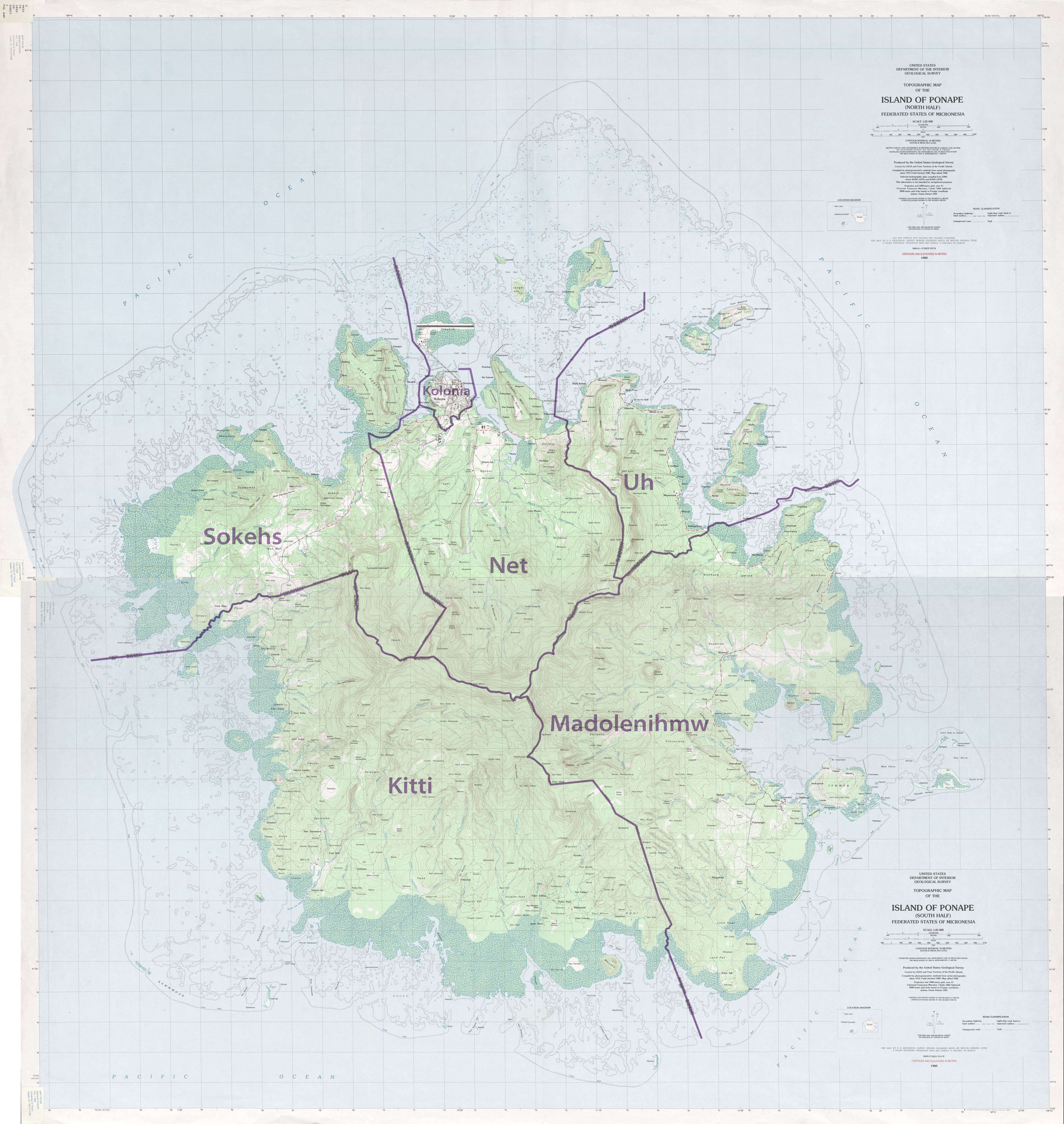
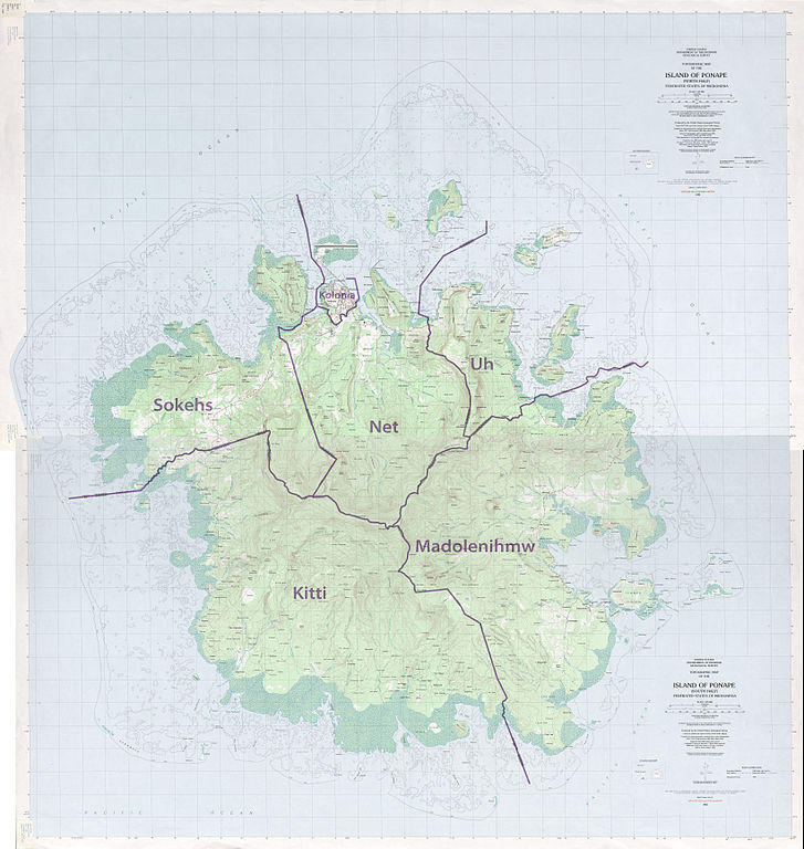
Talaksan:Pohnpei Island municipalities.jpg
Buong resolusyon ((6,554 × 6,924 pixel, laki ng talaksan: 15.63 MB, uri ng MIME: image/jpeg))
|
|
Ito ay isang talaksan mula sa Wikimedia Commons. Makikita sa ibaba ang impormasyon mula sa pahina ng paglalarawan nito roon. |
Buod
| Paglalarawan |
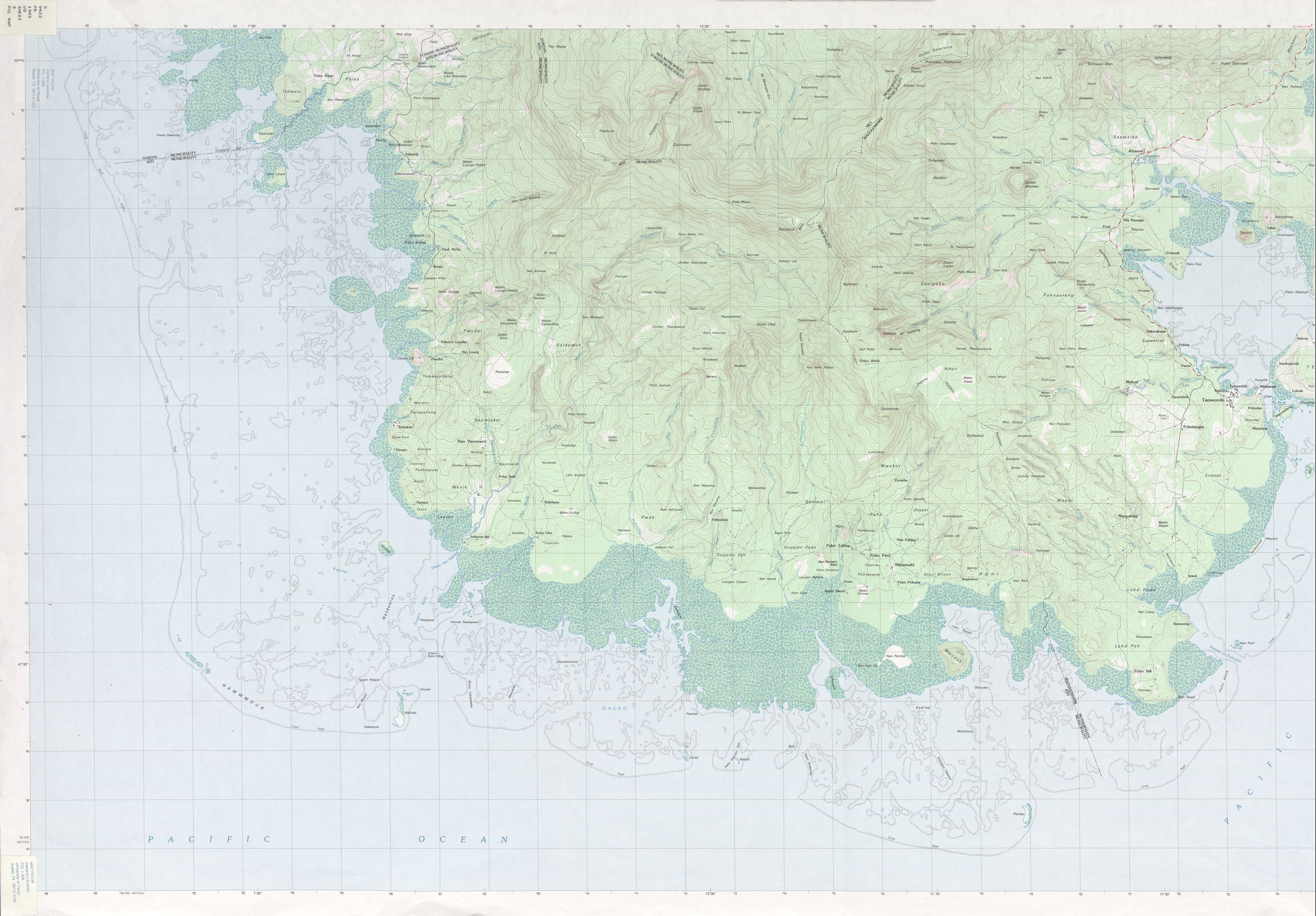
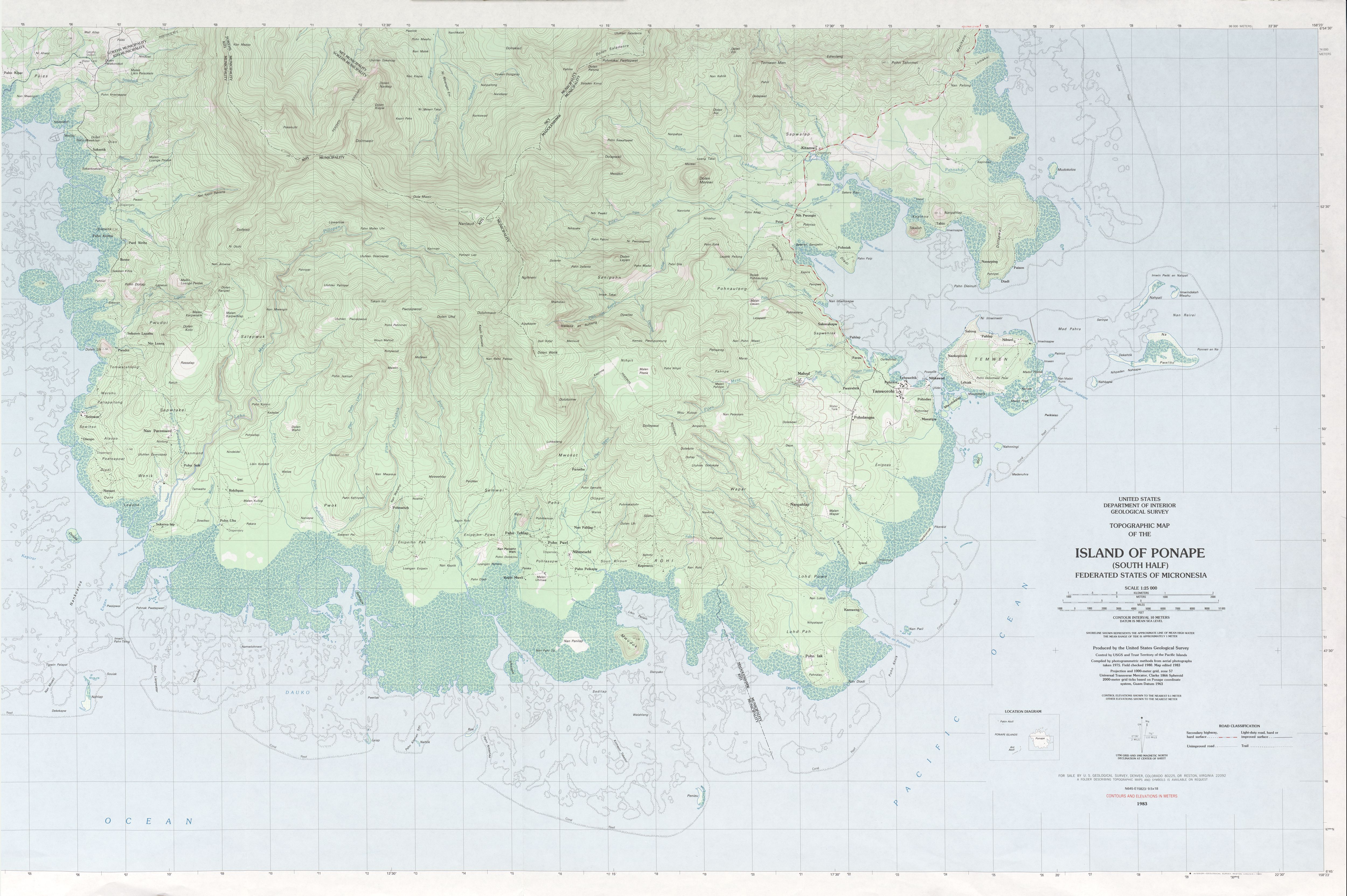
Deutsch: Pohnpei mit Gemeindegrenzen, Mikronesien, Pazifischer Ozean, vier Karten gestitcht
English: Pohnpei Island with municipality boundaries, Micronesia, Pacific Ocean, stitching of 4 maps |
|||
| Petsa | ||||
| Pinanggalingan |
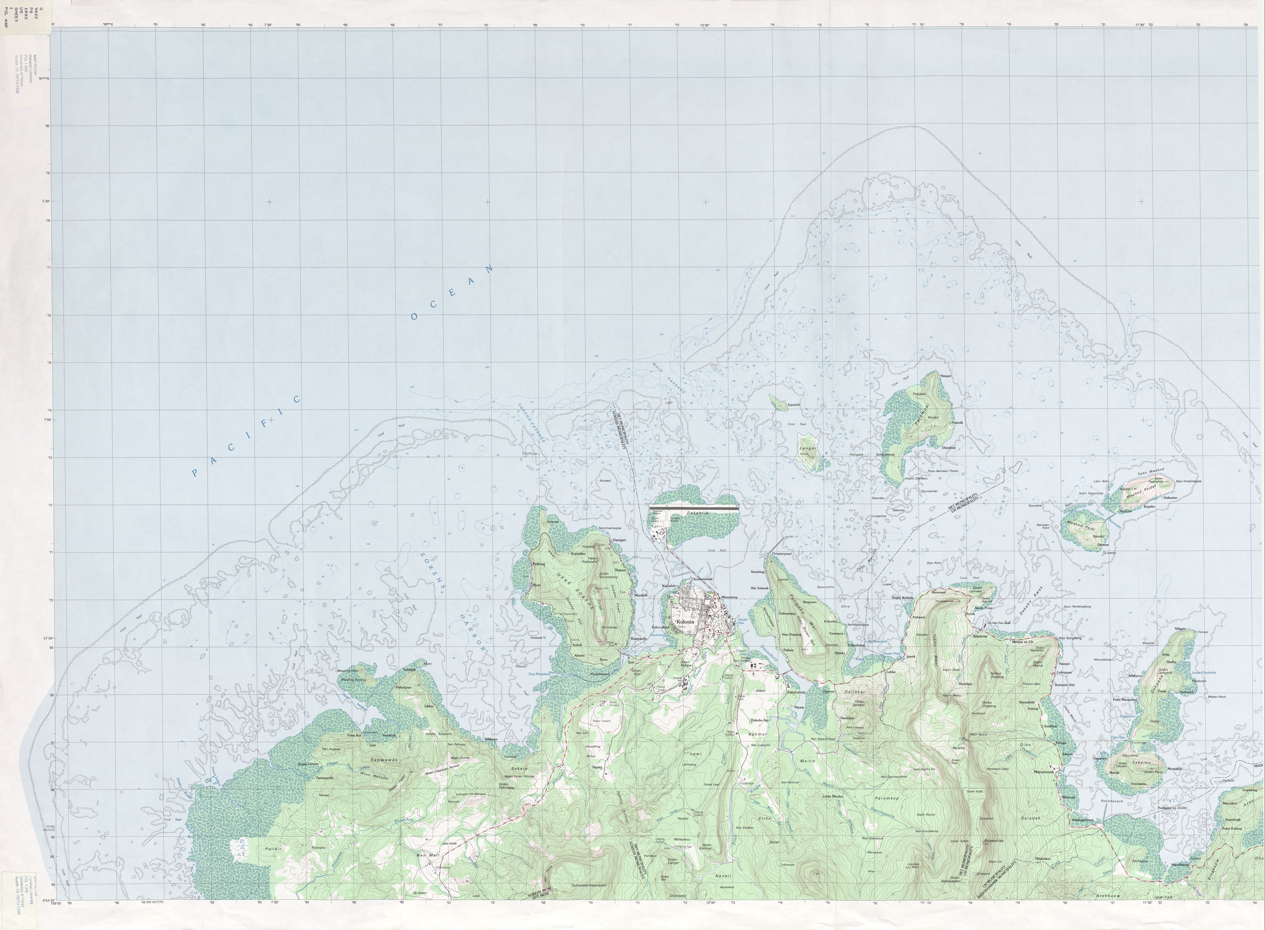
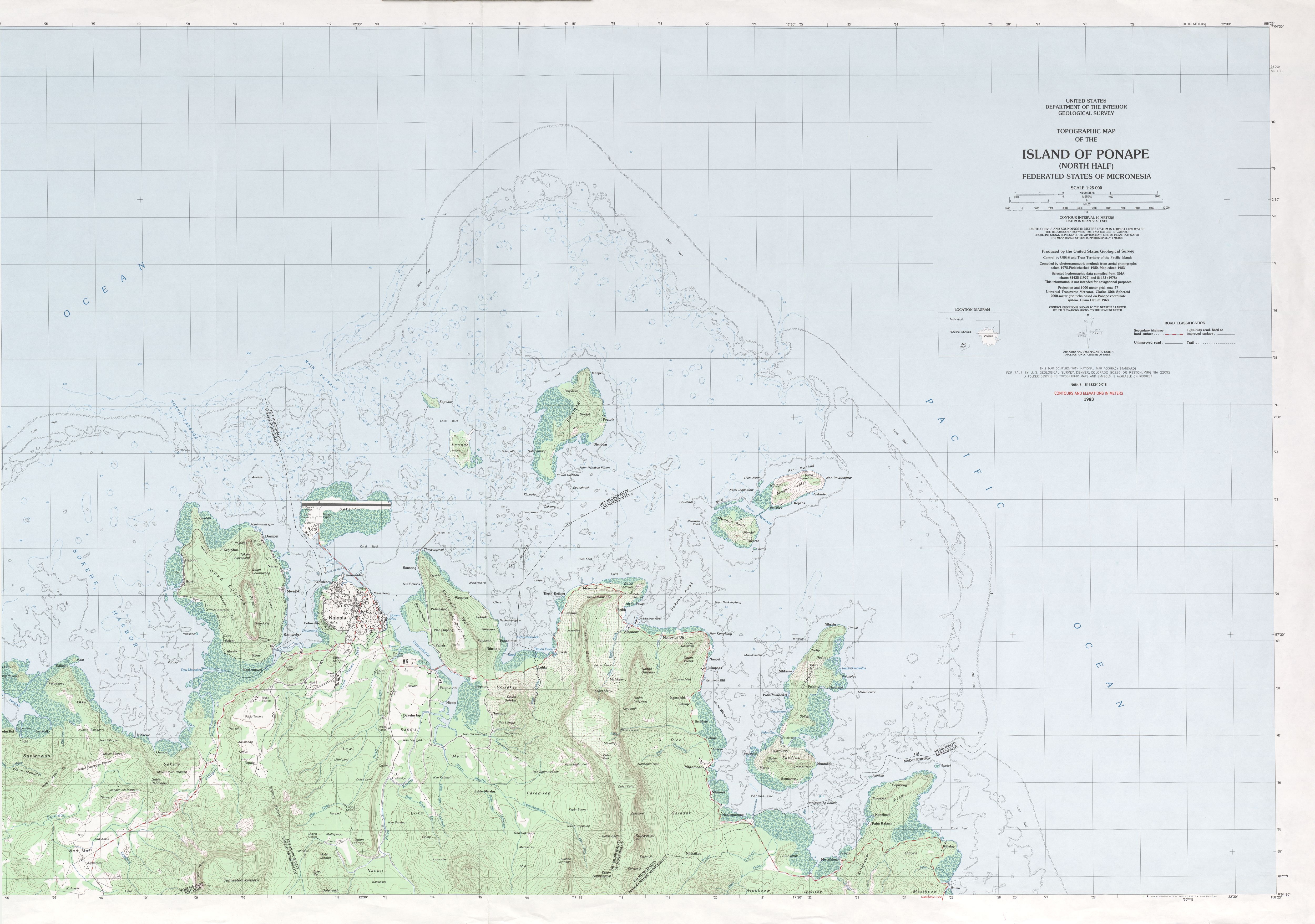
http://www.lib.utexas.edu/maps/topo/pacific_islands/txu-oclc-17153631-ponape-north-b.jpg |
|||
| May-akda | USGS, stitching by NordNordWest | |||
| Permiso (Muling paggamit sa file) |
|
Nakaraan ng file
Pindutin ang araw/oras upang makita kung papaano ang itsura ng talaksan noong oras na iyon.
| Araw/Oras | Thumbnail | Mga dimensiyon | tagagamit | Kumento | |
|---|---|---|---|---|---|
| ngayon | 18:09, 26 Pebrero 2010 | | 6,554 × 6,924 (15.63 MB) | NordNordWest | corr |
| 14:42, 26 Pebrero 2010 |  | 6,554 × 6,924 (15.63 MB) | NordNordWest | == {{int:filedesc}} == {{Information |Description={{de|1=Pohnpei mit Gemeindegrenzen, Mikronesien, Pazifischer Ozean, vier Karten gestitcht}} {{en|1=Pohnpei Island with municipality boundaries, Micronesia, Pacific Ocean, stitching of 4 map |
Mga ugnay
Nakaturo sa talaksan na ito ang mga sumusunod na mga pahina:
Pandaigdigang paggamit sa file
Ginagamit ng mga sumusunod na wiki ang file na ito:
- Paggamit sa de.wikipedia.org
- Paggamit sa en.wikipedia.org
- Paggamit sa fa.wikipedia.org
- Paggamit sa gl.wikipedia.org
- Paggamit sa uk.wikipedia.org
- Paggamit sa www.wikidata.org
- Paggamit sa zh.wikipedia.org