Talaksan:Shetland UK location map.svg

Size of this PNG preview of this SVG file: 315 x 599 na pixel. Ibang mga resolusyon: 126 x 240 na pixel | 252 x 480 na pixel | 404 x 768 na pixel | 538 x 1,024 na pixel | 1,077 x 2,048 na pixel | 832 x 1,582 na pixel.
Buong resolusyon ((Larawang SVG, tinatayang 832 × 1,582 mga pixel, laki ng talakasan: 1.63 MB))
|
|
Ito ay isang talaksan mula sa Wikimedia Commons. Makikita sa ibaba ang impormasyon mula sa pahina ng paglalarawan nito roon. |
| Paglalarawan |
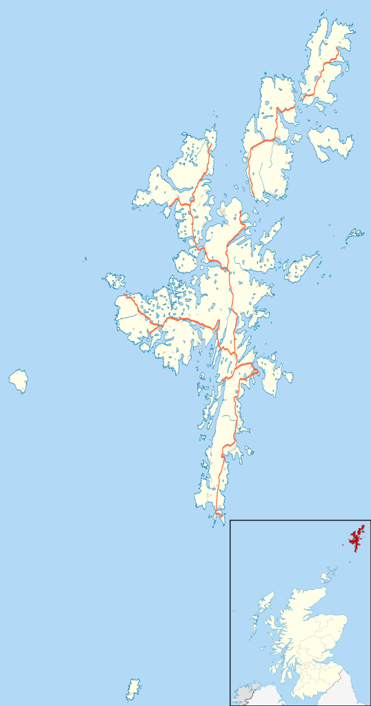
Blank map of the Shetland Islands, UK with the following information shown:
Equirectangular map projection on WGS 84 datum, with N/S stretched 200% Geographic limits:
|
| Petsa | |
| Pinanggalingan |
|
| May-akda | Nilfanion, created using Ordnance Survey data |
| Permiso (Muling paggamit sa file) |
Lisensyado ang file na ito sa ilalim ng lisensiyang Creative Commons Attribution-Share Alike 3.0 Unported. Atribusyon: Contains Ordnance Survey data © Crown copyright and database right
|
| Iba pang mga bersyon | File:Shetland UK blank map.svg - Blank map |
Nakaraan ng file
Pindutin ang araw/oras upang makita kung papaano ang itsura ng talaksan noong oras na iyon.
| Araw/Oras | Thumbnail | Mga dimensiyon | tagagamit | Kumento | |
|---|---|---|---|---|---|
| ngayon | 20:25, 26 Setyembre 2010 | | 832 × 1,582 (1.63 MB) | Nilfanion | {{Information |Description=Blank map of the Shetland Islands, UK with the following information shown: *Administrative borders *Coastline, lakes and rivers *Roads and railways *Urban areas Equirectangular map projection on WGS 84 d |
Mga ugnay
Walang mga pahina ang tumuturo sa talaksang ito.
Pandaigdigang paggamit sa file
Ginagamit ng mga sumusunod na wiki ang file na ito:
- Paggamit sa ar.wikipedia.org
- Paggamit sa be-tarask.wikipedia.org
- Paggamit sa bg.wikipedia.org
- Paggamit sa ceb.wikipedia.org
- Paggamit sa de.wikipedia.org
- Paggamit sa en.wikipedia.org
- Shetland
- Lerwick
- Jarlshof
- RAF Saxa Vord
- Broch of Mousa
- Broch of Clickimin
- Sumburgh Airport
- Skaw, Unst
- Grutness
- Twatt, Shetland
- Neap
- Brae
- Haroldswick
- Aith
- Scalloway
- Old Scatness
- Mail, Shetland
- Tingwall Airport
- Fair Isle Airport
- Bigton
- Cutts, Shetland
- Broch of Culswick
- Vidlin
- Mossbank, Shetland
- Scatsta Airport
- Aywick
- Westerfield, Shetland
- Clivocast
- RAF Sumburgh
- Walls, Shetland
Tingnan ang karagdagang pandaigdigang paggamit sa file na ito.