Talaksan:Dorf Tirol pflicht.jpg
Buong resolusyon ((1,255 × 1,006 pixel, laki ng talaksan: 241 KB, uri ng MIME: image/jpeg))
|
|
Ito ay isang talaksan mula sa Wikimedia Commons. Makikita sa ibaba ang impormasyon mula sa pahina ng paglalarawan nito roon. |
Buod
| Paglalarawan |
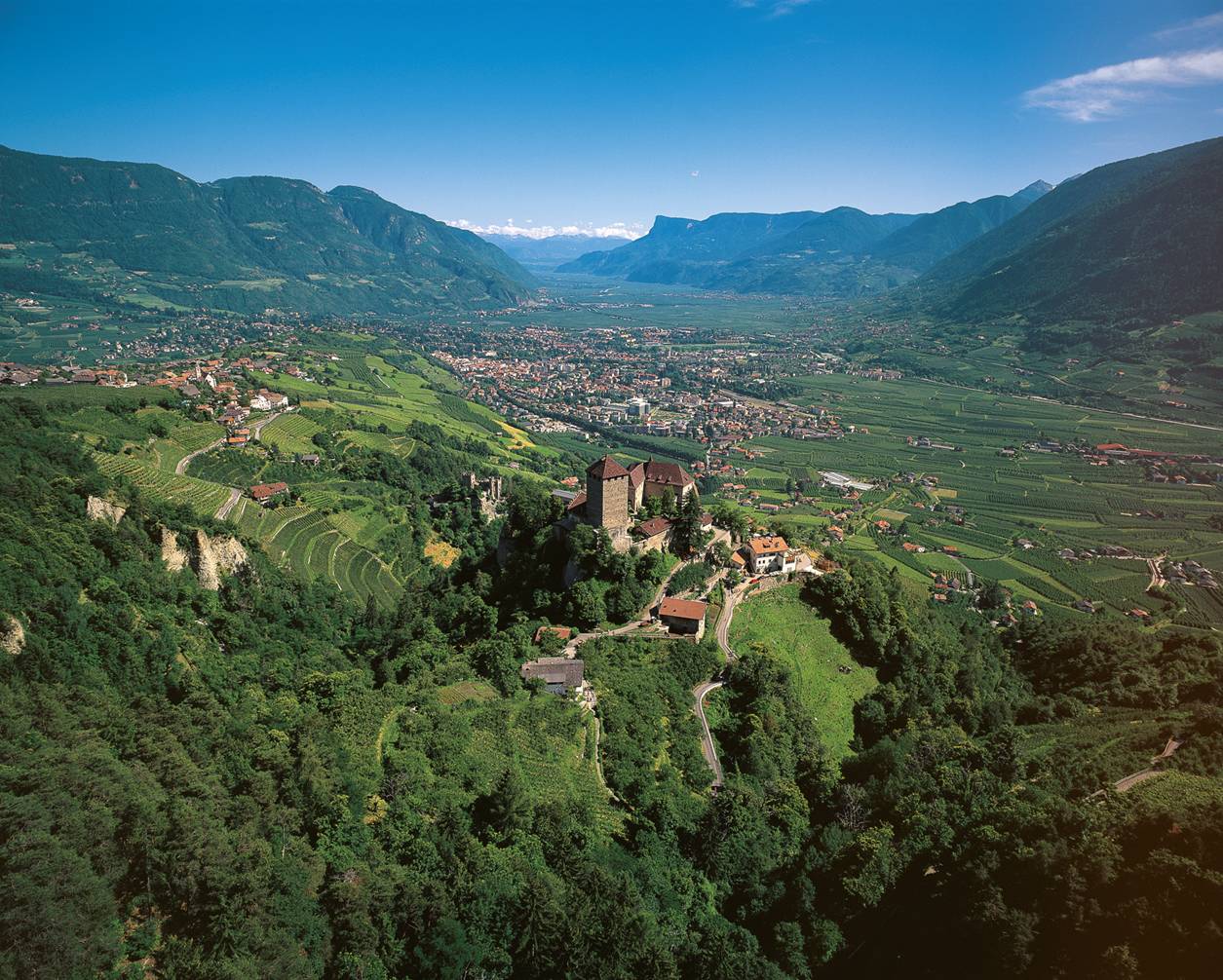
English: Landscape around the village Dorf Tirol: Tirol castle with Dorf Tirol to the left and Meran down in the valley. |
||
| Pinanggalingan | Tappeiner | ||
| May-akda | Tappeiner | ||
| Permiso (Muling paggamit sa file) |
Copyrighted free use provided that the copyright holder of this file allows anyone to use it for any purpose |
| Object location | | View this and other nearby images on: OpenStreetMap |
|---|
Paglilisensiya

|
The copyright holder of this work allows anyone to use it for any purpose including unrestricted redistribution, commercial use, and modification.
Usage notes:
|
| Annotations | This image is annotated: View the annotations at Commons |
Nakaraan ng file
Pindutin ang araw/oras upang makita kung papaano ang itsura ng talaksan noong oras na iyon.
| Araw/Oras | Thumbnail | Mga dimensiyon | tagagamit | Kumento | |
|---|---|---|---|---|---|
| ngayon | 09:59, 16 Nobyembre 2009 | | 1,255 × 1,006 (241 KB) | Coffee 2 | {{Information |Description={{en|1={{Information |Description= landscape of the town Dorf Tirol |Source= Tappeiner |Date= - |Author= Tappeiner |Permission= Copyrighted free use provided that the copyright holder of this file allows anyone to use it for an |
Mga ugnay
Nakaturo sa talaksan na ito ang mga sumusunod na mga pahina:
Pandaigdigang paggamit sa file
Ginagamit ng mga sumusunod na wiki ang file na ito:
- Paggamit sa azb.wikipedia.org
- Paggamit sa de.wikipedia.org
- Paggamit sa en.wikipedia.org
- Paggamit sa et.wikipedia.org
- Paggamit sa fa.wikipedia.org
- Paggamit sa id.wikipedia.org
- Paggamit sa it.wikipedia.org
- Paggamit sa ja.wikipedia.org
- Paggamit sa lld.wikipedia.org
- Paggamit sa nl.wikipedia.org
- Paggamit sa pl.wikipedia.org
- Paggamit sa sv.wikipedia.org
- Paggamit sa tr.wikipedia.org
- Paggamit sa vi.wikipedia.org