Talaksan:Map Yawatahama en.png
Laki ng pasilip na ito: 800 x 500 na pixel. Ibang mga resolusyon: 320 x 200 na pixel | 640 x 400 na pixel | 1,024 x 640 na pixel | 1,281 x 801 na pixel.
Buong resolusyon ((1,281 × 801 pixel, laki ng talaksan: 48 KB, uri ng MIME: image/png))
|
|
Ito ay isang talaksan mula sa Wikimedia Commons. Makikita sa ibaba ang impormasyon mula sa pahina ng paglalarawan nito roon. |
Buod
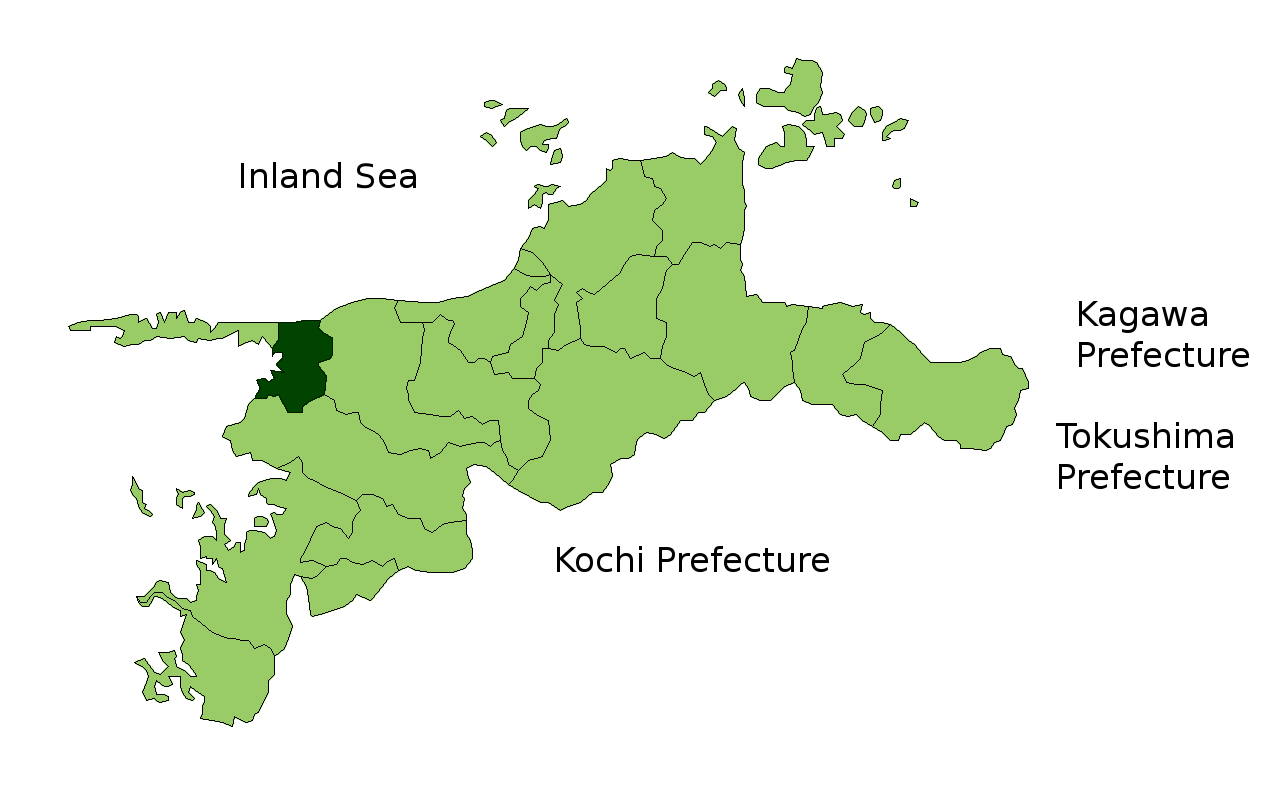
Map of Ehime Prefecture highlighting Yawatahama city. Borders of map as of October, 2006. (blank map used from [1])
See also Image:EhimeMapCurrent.png
Paglilisensiya

|
Shigenobu AOKI, the copyright holder of this work, allows anyone to use it for any purpose including unrestricted redistribution, commercial use, and modification.
|
Nakaraan ng file
Pindutin ang araw/oras upang makita kung papaano ang itsura ng talaksan noong oras na iyon.
| Araw/Oras | Thumbnail | Mga dimensiyon | tagagamit | Kumento | |
|---|---|---|---|---|---|
| ngayon | 14:04, 22 Oktubre 2006 | | 1,281 × 801 (48 KB) | Reggaeman | Map of Ehime Prefecture highlighting Yawatahama city. Borders of map as of October, 2006. (blank map used from [http://aoki2.si.gunma-u.ac.jp/map/map.html]) See also Image:EhimeMapCurrent.png Category:Yawatahama, Ehime [[Category:Maps of Ehime |
Mga ugnay
Nakaturo sa talaksan na ito ang mga sumusunod na mga pahina:
Pandaigdigang paggamit sa file
Ginagamit ng mga sumusunod na wiki ang file na ito:
- Paggamit sa ar.wikipedia.org
- Paggamit sa ce.wikipedia.org
- Paggamit sa gl.wikipedia.org
- Paggamit sa hu.wikipedia.org
- Paggamit sa mzn.wikipedia.org
- Paggamit sa ro.wikipedia.org
- Paggamit sa tt.wikipedia.org
- Paggamit sa www.wikidata.org