Talaksan:Oceania satellite.jpg
Laki ng pasilip na ito: 800 x 458 na pixel. Ibang mga resolusyon: 320 x 183 na pixel | 640 x 367 na pixel | 1,024 x 587 na pixel | 1,670 x 957 na pixel.
Buong resolusyon ((1,670 × 957 pixel, laki ng talaksan: 111 KB, uri ng MIME: image/jpeg))
|
|
Ito ay isang talaksan mula sa Wikimedia Commons. Makikita sa ibaba ang impormasyon mula sa pahina ng paglalarawan nito roon. |
source: http://visibleearth.nasa.gov/images/2433/land_shallow_topo_21600.tif archive copy at the Wayback Machine
| This file is in the public domain in the United States because it was solely created by NASA. NASA copyright policy states that "NASA material is not protected by copyright unless noted". (See Template:PD-USGov, NASA copyright policy page or JPL Image Use Policy.) | ||
 |
Warnings:
|
Nakaraan ng file
Pindutin ang araw/oras upang makita kung papaano ang itsura ng talaksan noong oras na iyon.
| Araw/Oras | Thumbnail | Mga dimensiyon | tagagamit | Kumento | |
|---|---|---|---|---|---|
| ngayon | 18:54, 14 Hunyo 2023 | | 1,670 × 957 (111 KB) | Treetoes023 | Didn't work the first time so I'm trying again. |
| 18:46, 14 Hunyo 2023 |  | 1,664 × 961 (111 KB) | Treetoes023 | Zoomed in image to remove unnecessary areas outside of Oceania. | |
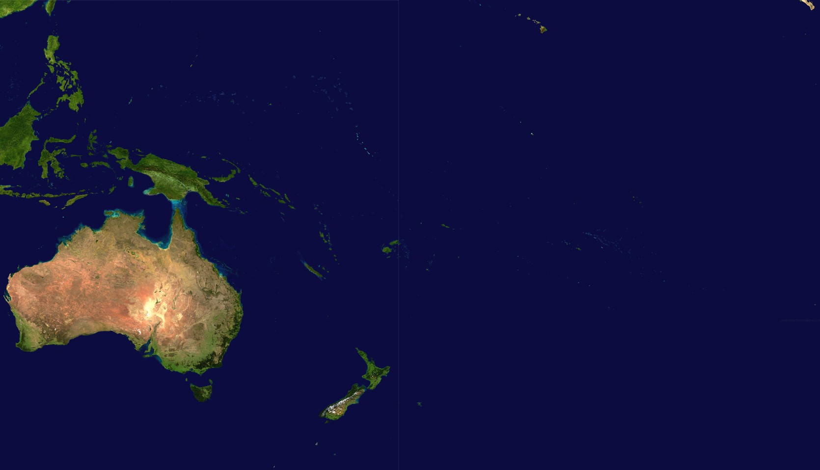
| 08:05, 19 Agosto 2005 |  | 2,349 × 1,155 (755 KB) | っ | source: http://visibleearth.nasa.gov/images/2433/land_shallow_topo_21600.tif {{PD-USGov-NASA}} Category:Maps of Oceania Oceania |
Mga ugnay
Nakaturo sa talaksan na ito ang mga sumusunod na mga pahina:
Pandaigdigang paggamit sa file
Ginagamit ng mga sumusunod na wiki ang file na ito:
- Paggamit sa af.wikipedia.org
- Paggamit sa ar.wikipedia.org
- Paggamit sa ar.wikinews.org
- Paggamit sa arz.wikipedia.org
- Paggamit sa ast.wikipedia.org
- Paggamit sa ba.wikipedia.org
- Paggamit sa ca.wikipedia.org
- Paggamit sa cdo.wikipedia.org
- Paggamit sa co.wikipedia.org
- Paggamit sa crh.wikipedia.org
- Paggamit sa cs.wikipedia.org
- Paggamit sa cy.wikipedia.org
- Paggamit sa de.wikipedia.org
- Paggamit sa el.wikipedia.org
- Paggamit sa en.wikipedia.org
- Paggamit sa eo.wikipedia.org
- Paggamit sa es.wikipedia.org
- Paggamit sa es.wikivoyage.org
- Paggamit sa et.wikipedia.org
- Paggamit sa fiu-vro.wikipedia.org
- Paggamit sa fi.wikipedia.org
- Paggamit sa fo.wikipedia.org
- Paggamit sa fr.wikipedia.org
Tingnan ang karagdagang pandaigdigang paggamit sa file na ito.